
Description of the route
From the main square of Campione cross a small bridge and the turn right where the “sentiero 267” begins. Follow the steps up and you start to climb the mountain in a gorge with nice view over Campione and the lake. After about 30mins you’ll find a tunnel carved in the rock.After the tunnel there’s a bridge wich you don’t have to cross instead stay on the left side of the gorge and follow the signs for sentiero 266.
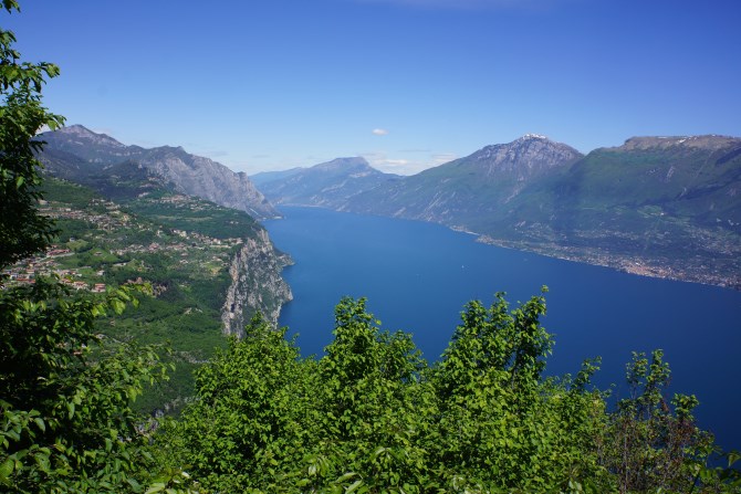
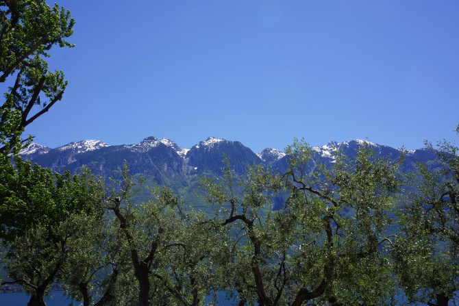
You will climb the mountain for about 60 minutes, passing through woodland until you eventually come out into open space with glorious views across to the mountains on the other side of the lake. Keep following signs for sentiero 266, which after time also adds the destination “Mount Cas.” From here you’ve about 40 mins until you reach a view point with amazing views up the lake to Baldo and all the way down to Sirmione.
Map of the route
View Sentiero 266-Monte Castello in a larger map
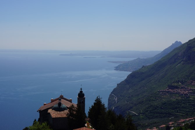
Continue for another 20 mins along the World War 1 pathway, complete with caves and crosses until you eventually reach the Sanctuario.


Leave A Comment