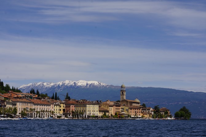
After last weeks unsuccessful attempt to reach the top of the mountain that offers a 360degree lake view, plus stunning views across to the Apennines and the Alps, I was determined to find a path to the top.
I don’t know whether it because I’m a bit of an amateur and don’t understand how to follow the guide books, or I’m just stupid, or that the guide books are written for people who already know the way, but I seem to struggle to follow them. Anyway, on Friday, in 27 degree heat, with my little bag containing, bottle of water, mini picnic, camera, and two phones, I set off to find sentieri 11, which would take me to the top of Pizzocolo via the Malga Valley.
I drove to where the guidebook guided me and was pleasantly surprised to find a signpost, which did in fact point to Mount Pizzocolo, via Malga Valle, on route 11. I parked up and set off. The first part of the walk was along a concreted road, which then became a dirt track, with concreted over some of the steeper parts. I had been walking for about 30mins and was beginning to wonder whether I would be following this concreted dirt track all the way to the top, but then I came to another place to where it was possible to park the car, and thought maybe I had parked in the wrong place and this was where the walk began.
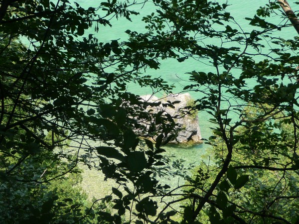
I followed the red and white marker, although it no longer had names or numbers, so I just hoped I was following the correct route and was again pleasantly surprised. The route took me up a fairly steep track, through some very pretty woodland, lots of flowers and rock formations, it was a bit like a set out of Lord of the Rings, it changed all the time, sometimes dense, sometimes open, sometimes rocks, sometimes just trees. I walked for about an hour then finally came out of the woods and arrived at an old building. I could see the top of the mountain, but I couldn’t see the path anymore, so I assumed you just had to climb the last bit.
It wasn’t really a climb, but then it wasn’t a walk, I sort of had to pull myself up on some rocks in places, in places it was easy enough not to use my hands. I must admit I was a bit worried about getting back down. I was just getting a bit concerned that I was going to maybe give up and go back down, when I came over a rock and was on a footpath. I thought this a bit strange, I was worried, but secretly hoping that I had made an error and there had been a path I could have taken, although I knew there were other routes up and this path just could have been from somewhere totally different. As I clambered on to the footpath I was right next to a hut with a bench outside, at which sat four Italians. I asked in my Italian, which included hand signals for the words I didn’t know, like climbing, if the path led back down to the building. “si, si sentieri 11”.
I had messed up but was very relieved that I wouldn’t have to climb back down. The Italians laughed when I told them I had climbed the last bit and indicated where I’d come up. “Sbagliato” they said, sort of laughing, which means “you went wrong”. They asked if I was Australian, “No, sono inglese” I replied, indicating my vest, shorts and trainers, with my little handbag. They were all dressed appropriately in their mountain hiking clothes, boots and ruck sacks, they laughed, and agreed “of course, inglese”. They made a few remarks about Barcelona beating Manchester, I agreed and said that I hoped so too, then I carried on to the very, very top.
It was a shame that it wasn’t a very clear day because the views weren’t what they could have been, but they were still amazing. I sat and ate my little picnic, Salami, cheese, salad and bread, at least my eating habits are italian. I meditated for a while, breathed in the fresh mountain air, took in the wonder (and lots of photos), then after about 40 mins I set off back down. The italians were still sat at the table and the reassured me that the path would take me where I wanted to go, which it did, so I enjoyed the walk down, satisfied at my achievement……I can’t wait to do it again on a clear day.


Leave A Comment